全屏无滚动 · 产业应用 (建站器适配版)

Industry Applications

Embracing the Vast and Inclusive — Absorbing Diverse Streams with Open Arms

Low-Altitude Economy
The low-altitude economy refers to a comprehensive economic model driven by various manned and unmanned aircraft low-altitude flight activities, which radiate and drive the integrated development of related fields. It consists of the low-altitude manufacturing industry, low-altitude flight industry, low-altitude support industry, and comprehensive service industry.
LOW-ALTITUDE ECONOMY
Planning and Natural Resources
Land survey refers to activities involving the investigation, monitoring, statistics, and analysis of natural attributes such as land type, location, area, and distribution, as well as social attributes such as land ownership and their changes, along with the status of basic farmland. It includes national land surveys, land change surveys, and special land surveys.
PLANNING & NATURAL RESOURCES
Municipal Construction
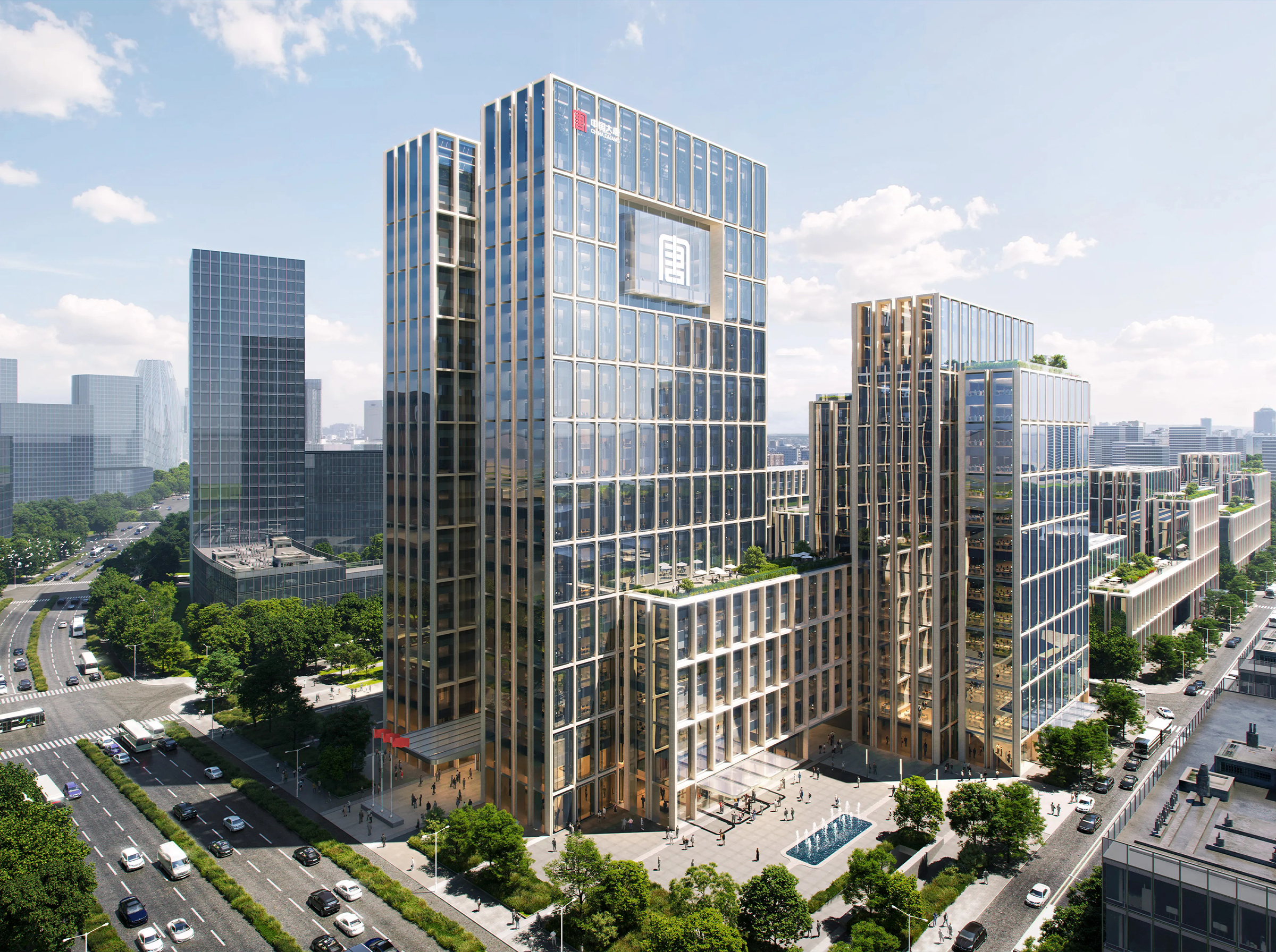
Municipal engineering surveying refers to the measurement work carried out for the planning, design, construction stakeout, and completion acceptance of municipal engineering construction. Municipal engineering refers to the construction of municipal infrastructure facilities. Municipal facilities refer to various buildings, structures, equipment, etc., established within the urban and town (township) planning and construction areas, which provide paid or unpaid public products and services to residents based on government responsibilities and obligations. Various public infrastructure constructions for urban living fall under the scope of municipal engineering, such as common urban roads, bridges, subways, and various pipelines closely related to daily life, including rainwater, sewage, water supply, reclaimed water, electric power, telecommunications, heating, and gas facilities, as well as the construction of squares, urban greening, and other areas.
MUNICIPAL CONSTRUCTION
Water Resources Industry
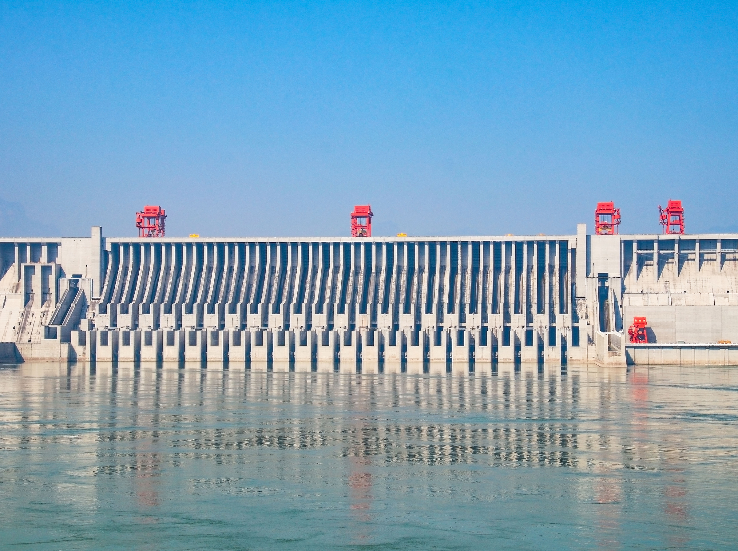
Water resources surveying is a comprehensive type of surveying and mapping work, mainly used in river management, water resource development, utilization, and protection. The main contents include horizontal and vertical control surveying, topographic surveying (including underwater topographic surveying), cross-section and longitudinal-section surveying, alignment and stakeout surveying, deformation observation, etc. In addition, water resources surveying and mapping also includes geological investigation of water conservancy projects, groundwater resource investigation, and soil surveys in irrigation areas. Specific tasks include regional structural stability analysis, reservoir earthquake monitoring, reservoir seepage and environmental geology research, foundation stability evaluation of hydraulic structures, surrounding rock stability analysis of caverns, stability analysis of natural and excavated slopes, and investigation of natural building material conditions.
WATER RESOURCES INDUSTRY
Civil Affairs Departments
Boundary surveying refers to the measurement work carried out for administrative regions and land parcel boundaries, boundary points, and important boundary marker facilities. The purpose of administrative boundary surveying and mapping is to confirm and analyze the location and direction of administrative boundaries, demarcate a fair and reasonable administrative boundary, and provide basic data and scientific evidence for boundary management work at all levels of government.
CIVIL AFFAIRS DEPARTMENTS
Transportation
Surveying work for road design, construction, and other purposes, including line stakeout, cross-sections and longitudinal sections, leveling and elevation, bridge and culvert surveying, etc., mainly includes highway engineering surveying, railway surveying, subway surveying, bridge surveying, tunnel surveying, alignment surveying, and more.
TRANSPORTATION
Agriculture and Rural Affairs
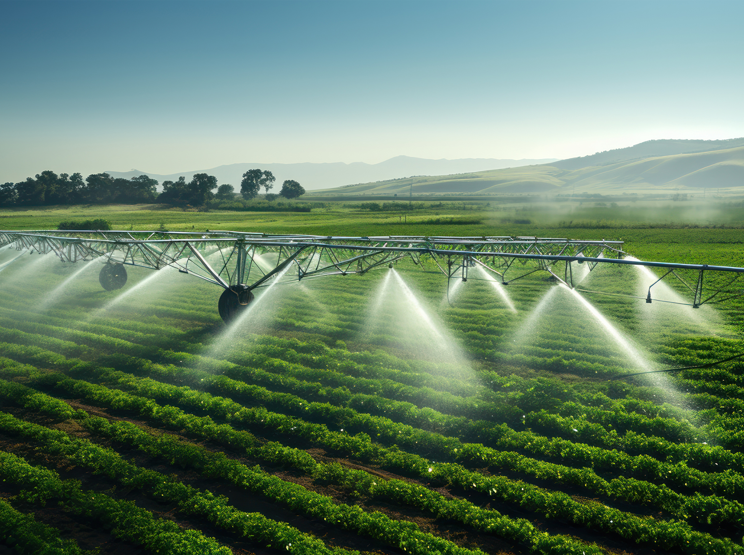
Smart agriculture uses cloud computing as its core, fully leverages the Internet of Things and mobile Internet, and integrates network communication technologies into all aspects of agriculture, providing all agricultural participants with a safe, convenient, modern, and intelligent environment. This forms a new management paradigm based on information-based and intelligent agricultural management and services.
AGRICULTURE & RURAL AFFAIRS
Cultural Heritage Protection
Cultural heritage is the trace of human activities over thousands of years, containing a wealth of historical information. However, throughout the course of history, some civilizations have gradually been forgotten, and many relics have been affected by environmental factors or even damaged by human activities, resulting in the continuous loss of historical information. Much historical information regarding ancient politics, economy, culture, architecture, art, and more cannot be verified in today's society. Therefore, cultural heritage protection is an important contemporary issue.
CULTURAL HERITAGE PROTECTION
Natural Disaster Survey and Mapping
Emergency surveying and mapping support services are fundamental work that runs through the entire process of emergency prevention, response, handling, and recovery. They constitute an important component of the national emergency response system and a key business area of public-interest surveying, mapping, and geoinformation work in the new era. In order to thoroughly implement the National Natural Disaster Relief Emergency Plan issued by the General Office of the State Council (State Council Letter No. 2016-25), the Reply on the Feasibility Study Report of the National Emergency Surveying and Mapping Support Capacity Building Project issued by the National Development and Reform Commission (NDRC Investment No. 2015-3111), and the 13th Five-Year Plan for Surveying, Mapping and Geoinformation Undertakings (NDRC Regional No. 2016-1907), further efforts should be made to strengthen the capacity building of emergency surveying and mapping support services, so as to better serve emergency management work for sudden incidents.
NATURAL DISASTER SURVEY & MAPPING
Smart Cities
A smart city uses information and communication technologies to sense, analyze, and integrate key information from the core systems of urban operations, thereby making intelligent responses to various needs including livelihood, environmental protection, public safety, urban services, and industrial and commercial activities. By utilizing advanced information technologies, it achieves smart urban management and operations. With the continuous development and application of advanced information technologies such as the Internet of Things and cloud computing, the environment for human production and living is becoming an increasingly "smart" world connected by systems. Cities, as the main gathering places for human habitation, are particularly leading in this smart transformation, gradually evolving into "smart cities" that integrate numerous concepts and technologies.
SMART CITIES