
Top search terms
Home
/
Remote Sensing Data Processing and Application
Remote Sensing Data Processing and Application
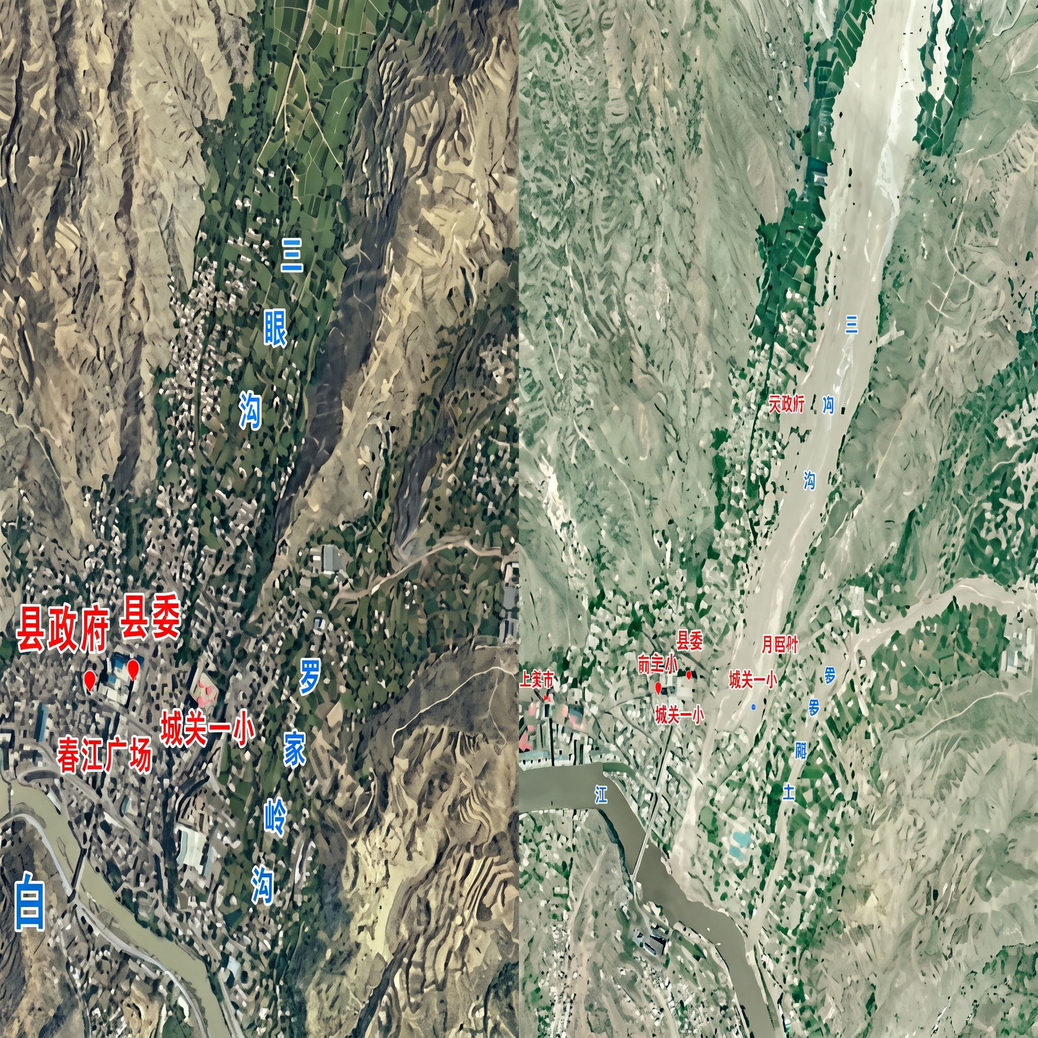
Aerial photogrammetric data processing is the core technical process of converting raw aerial images captured by cameras mounted on aircraft or UAVs, through a series of precise calculations, into digital products with accurate geographic coordinates that can be used for map production and 3D modeling. The essence of this work is to apply the principles of photogrammetry to perform geometric correction and stereo restoration on images, transforming 2D photographs into measurable and analyzable geographic information data.
Quantity
-
Detail
-
Customer ReviewsNo comments