
Top search terms
Home
/
Engineering Surveying


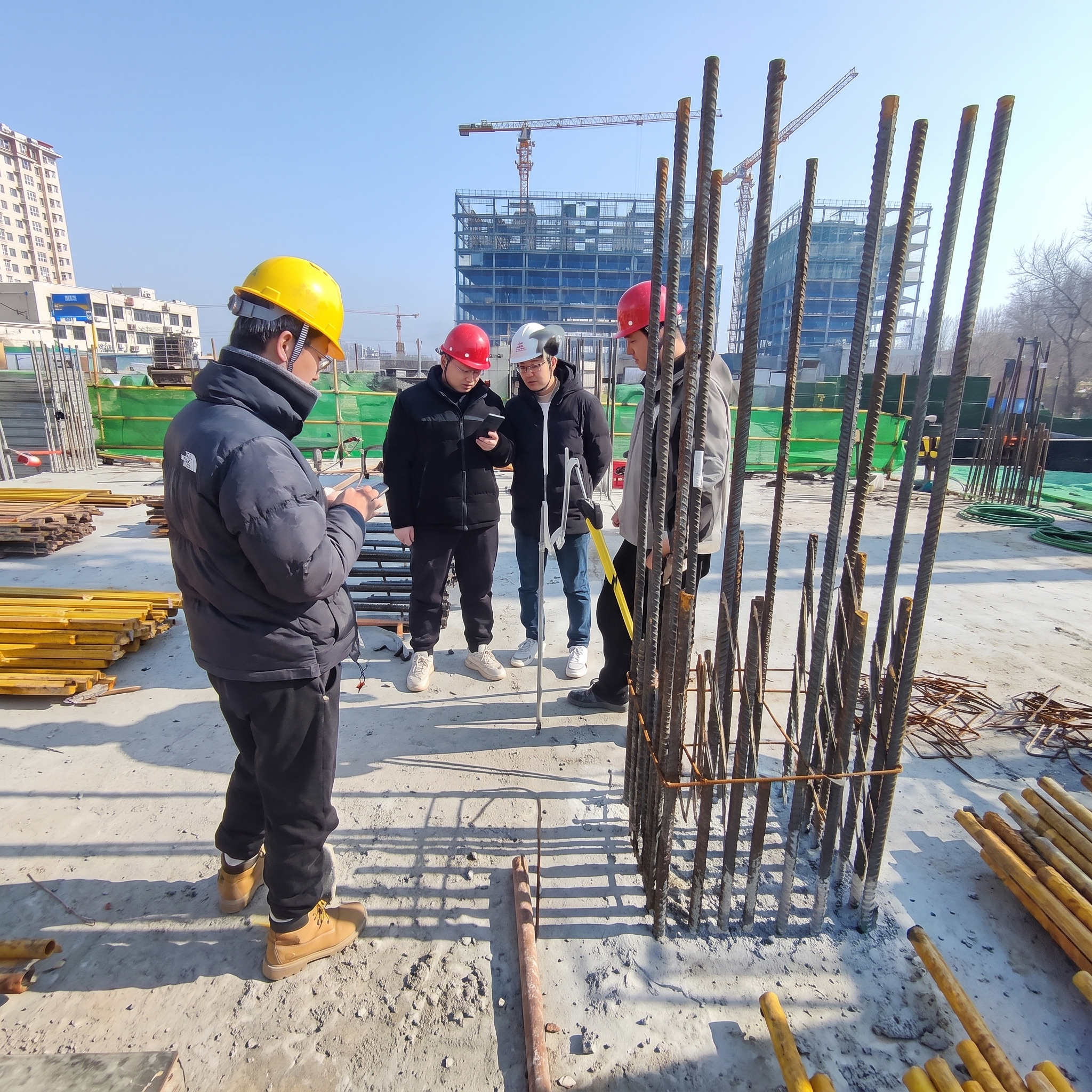

Engineering Surveying
The content systematically defines the scope and sub-disciplines of Engineering Surveying, covering its theoretical foundation, technical methods, and diverse application scenarios. The field extends from basic control network establishment and topographic mapping to specialized surveys for planning, construction, infrastructure (pipelines, roads, bridges, tunnels, municipal works), deformation monitoring, and property/cadastral management. It serves the full lifecycle of urban development and engineering projects—from preliminary planning and design through construction, operation, and maintenance—while also supporting land administration, natural resource management, and cultural heritage digitization (as implied by the broader context). Overall, engineering surveying is a comprehensive, multi-faceted discipline that integrates spatial data acquisition, processing, and management to support informed decision-making in construction, land use, and resource governance.
Quantity
-
Detail
-
Customer ReviewsNo comments